
Destructive winds and torrential rain have left tens of thousands without power in New South Wales, as emergency services scramble to respond to worsening conditions along the state’s eastern seaboard. A powerful coastal low-pressure system continued to intensify late Tuesday, delivering gusts exceeding 100km/h across parts of the state, with the Bureau of Meteorology (BoM) warning that conditions are likely to deteriorate further overnight. Some regions experienced a full month’s rainfall in just 24 hours, while wind gusts of more than 125km/h were forecast for exposed coastal areas fro
Destructive winds and torrential rain have left tens of thousands without power in New South Wales, as emergency services scramble to respond to worsening conditions along the state’s eastern seaboard.
A powerful coastal low-pressure system continued to intensify late Tuesday, delivering gusts exceeding 100km/h across parts of the state, with the Bureau of Meteorology (BoM) warning that conditions are likely to deteriorate further overnight. Some regions experienced a full month’s rainfall in just 24 hours, while wind gusts of more than 125km/h were forecast for exposed coastal areas from the Illawarra to the South Coast.
Thousands Left Without Power
As reported by The Guardian, by 7pm Tuesday, around 30,000 Ausgrid customers remained without electricity, with the Central Coast and Hunter Region hardest hit. The company reported that 15,500 properties were without power on the Central Coast, while 13,000 homes were affected in the Hunter. Emergency crews are working through the night to restore service. The NSW State Emergency Service (SES) said it had received over 1,700 calls for help and responded to more than 1,300 incidents between Monday evening and Tuesday night. Requests ranged from flood-related rescues to fallen trees and roof leaks. Warnings were also issued for Sydney residents to stay alert and monitor evolving hazards.
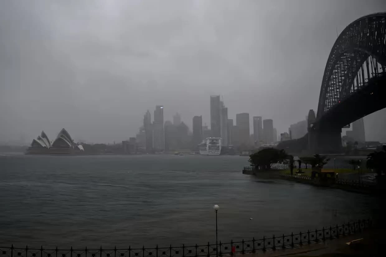
Rain falls over the Sydney CBD on Tuesday.
Source: The Guardian
Evacuation Orders on the Central Coast
As the storm intensified, evacuation orders were issued for coastal homes on the Central Coast, particularly along Hutton Road, Ocean View Drive in Wamberal, and Pacific Street, where dangerous surf and coastal erosion posed a direct threat to buildings. The Wamberal Beach area, which has long struggled with erosion issues, is again in the spotlight as discussions continue over whether to install a permanent sea wall. “We’re seeing significant wave damage to coastal areas,” the SES said. “These homes are at serious risk.”
Roads Blocked, Services Disrupted
Transport chaos unfolded across the state, with ferry and train services suspended in parts of NSW and heavy traffic clogging Sydney roads. Downed powerlines and debris have led to several accidents. Deputy SES Commissioner Debbie Platz described the storm as “very dangerous”, warning the worst was yet to come. “Conditions are going to deteriorate even further overnight,” she told ABC News.
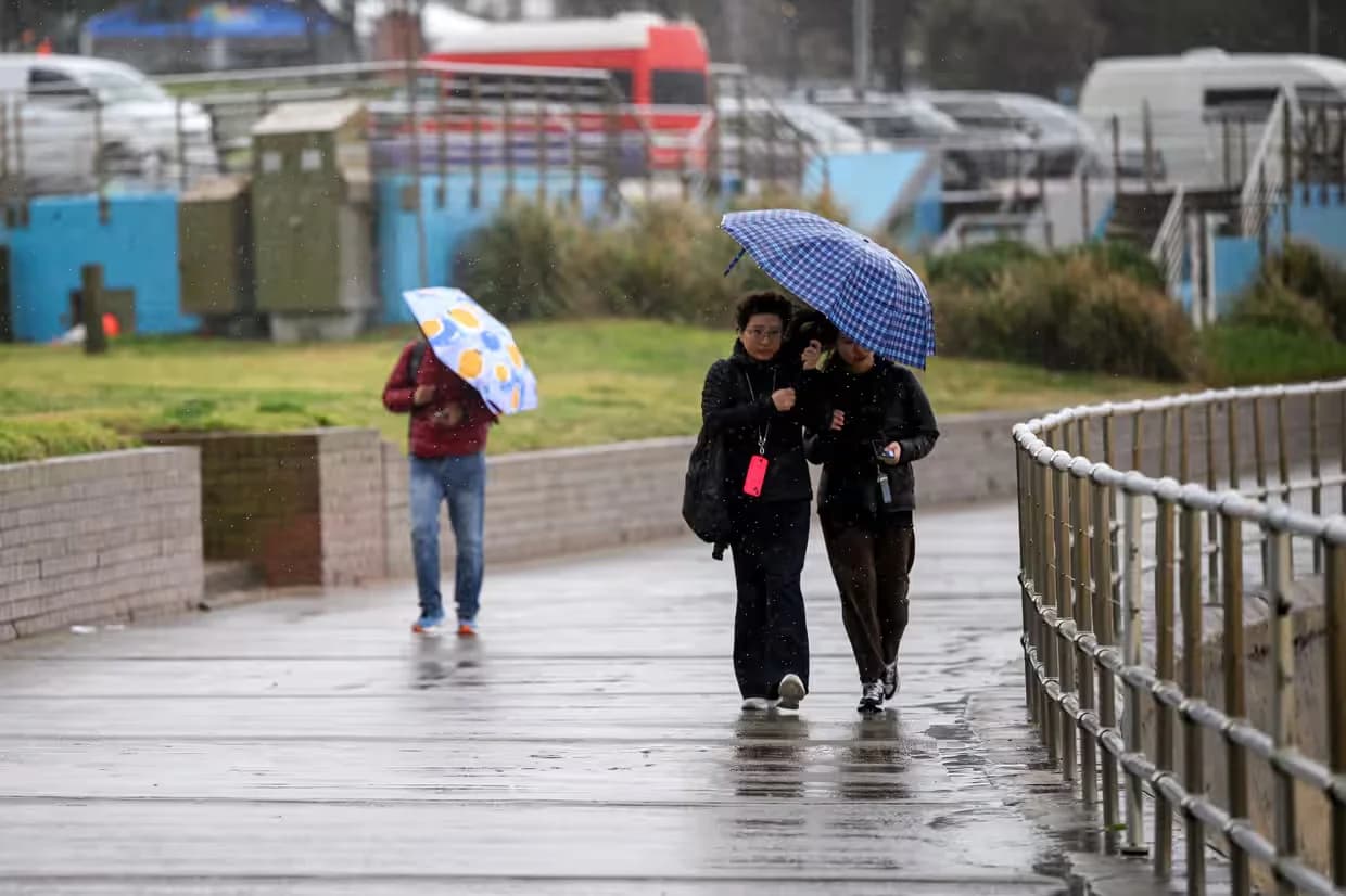
Walkers shelter from the rain at Bondi Beach in Sydney on Tuesday. Photograph: Bianca de Marchi/AAP Source: The Guardian
More Intense Than May Floods, Officials Warn
Authorities are comparing this event to the severe flooding that struck the Hunter and Mid North Coast in May — but warn that the current system could be “sharper and more intense”, especially in already saturated areas. “We’re not out of the woods yet,” said SES Northern Zone Commander Chief Superintendent Andrew Cribb. Emergency Services Minister Jihad Dib echoed the concern, calling the system “complex and far-reaching”, stretching from the Mid North Coast down to Bega. He warned that conditions would worsen into Wednesday, urging communities to stay alert and prepared.
Up to 200mm of Rainfall Possible
The system, officially classified by the BoM as a “vigorous coastal low”, continues to track slowly southward. While some social media reports referred to it as an “east coast low” or “bomb cyclone”, BoM meteorologist Helen Reid clarified that the current system differs in structure and behavior. Widespread rainfall totals between 50mm and 150mm are expected across the state, with isolated areas exceeding 200mm — enough to trigger flash flooding in vulnerable zones. By Tuesday morning, Jervis Bay had recorded 109mm, Currarong 85mm, and Williamtown 70mm, with additional heavy falls expected along the coast. Wind speeds of 113km/h were clocked at Wattamolla, south of Sydney, with more destructive gusts likely into the evening. The BoM warned of sustained winds averaging 60–70km/h, particularly in exposed coastal locations. WaterNSW reported that Warragamba Dam was at 98% capacity and likely to spill in the coming days due to continued heavy rainfall, raising concerns over downstream flooding.
Flights Disrupted, Public Urged to Stay Indoors
Sydney Airport warned of possible delays and advised travelers to confirm flight status with their airlines. Airservices Australia also reported reduced aircraft movements due to the storm. The SES urged the public to remain indoors and avoid unnecessary travel. “We’ve been asking people to prepare since last week,” an SES spokesperson said. “At this point, it’s simply too dangerous to be out in the weather.”



Comments
No comments yet. Be the first to share a thought.